Looking for an easy way to find 3D printable terrain models? Go no further than TouchTerrain.
TouchTerrain is a project of the University of Iowa that allows you to select a rectangular surface area of anywhere on the Earth and then download a 3D model of the surface terrain.
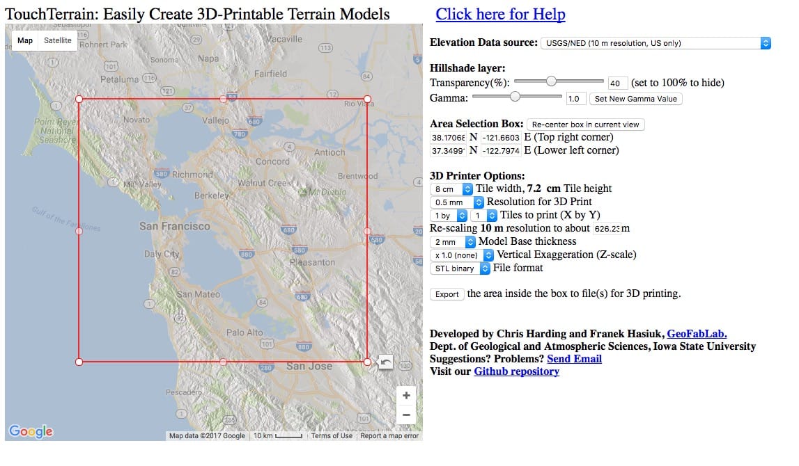
The interface is quite straightforward, although you must expand the map and drag the prominent rectangle over the area you wish to download.
Here is the control screen for a download of the San Francisco area.

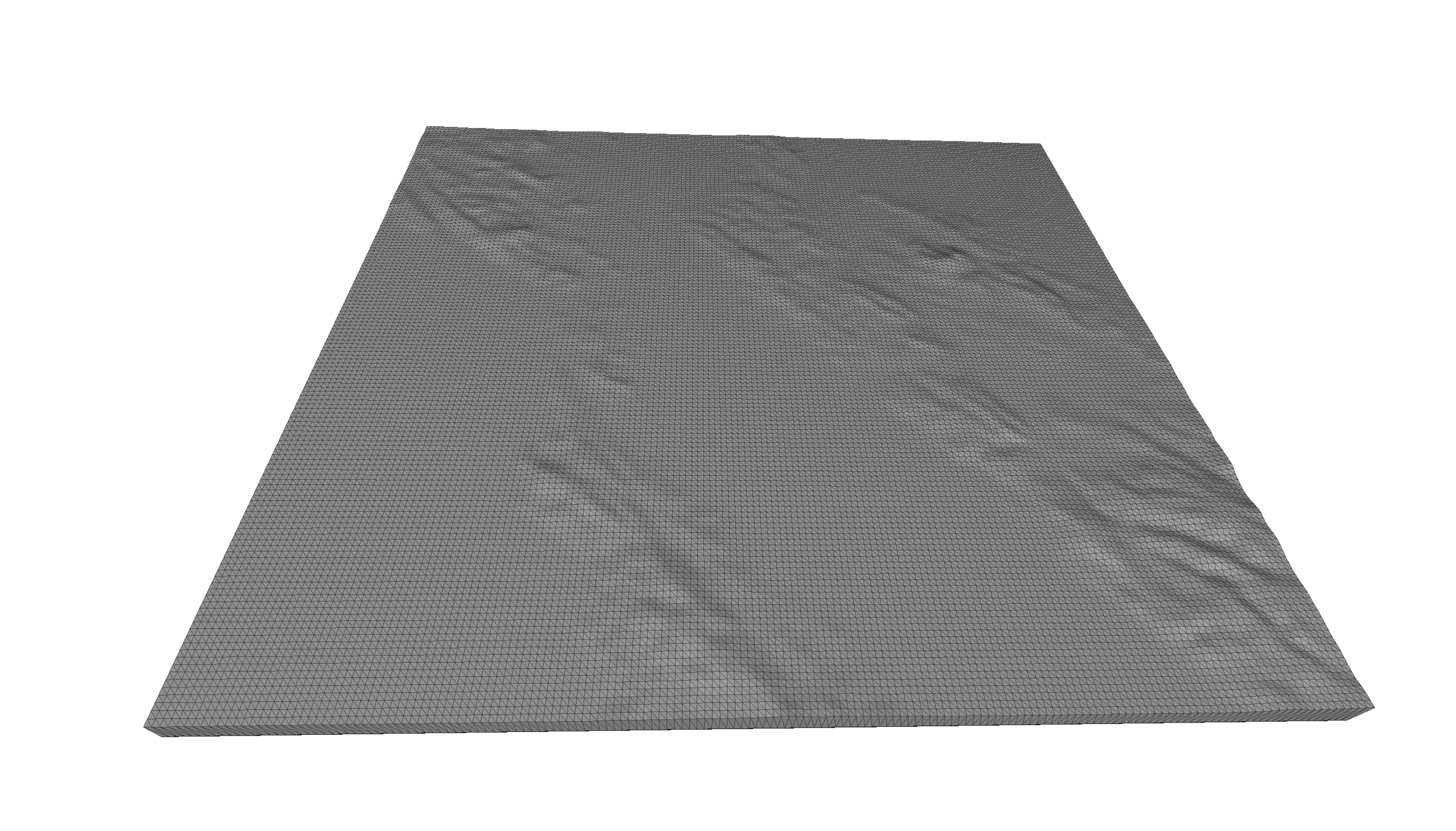
And this is the corresponding 3D model. Note that it doesn’t look like much and that’s because the world is actually quite flat, in spite of your very localized personal view of the terrain.

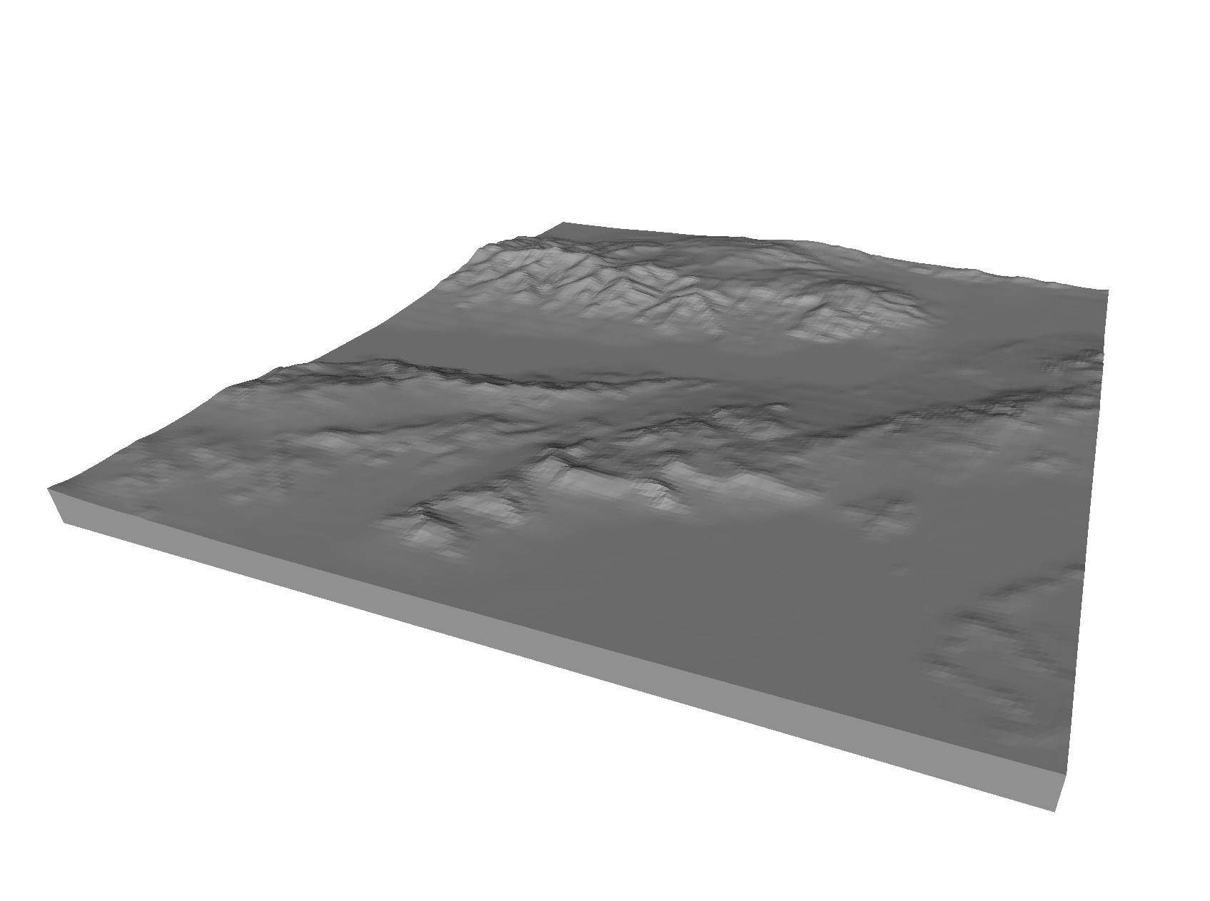
The service is best used to portray areas with dramatic elevation changes, such as the view of Death Valley at top.
It’s also possible to download the surface imagery for the same rectangular section and then apply the texture to the surface of the 3D model. Then if you have access to a full color 3D printer, you may be able to 3D print a color textured terrain model of anywhere you wish.
There is one caveat: the system uses higher resolution data for US locations, and less for other places. This is likely not much of an issue unless you zoom in too closely.
This is a research project and doesn’t seem to have any cost to operate, so feel free to use at your discretion.
Via TouchTerrain (Hat tip to Bruce)

