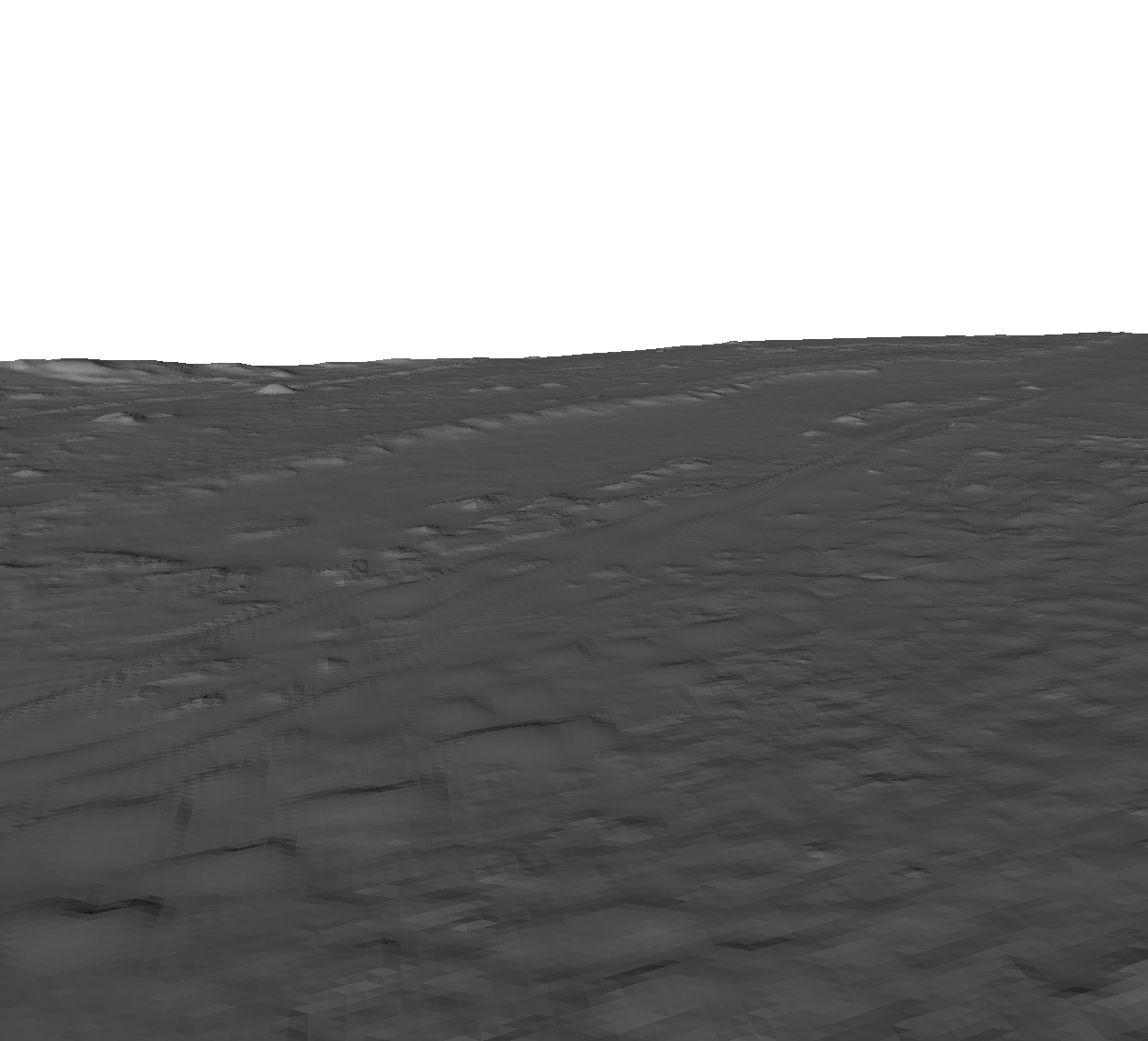
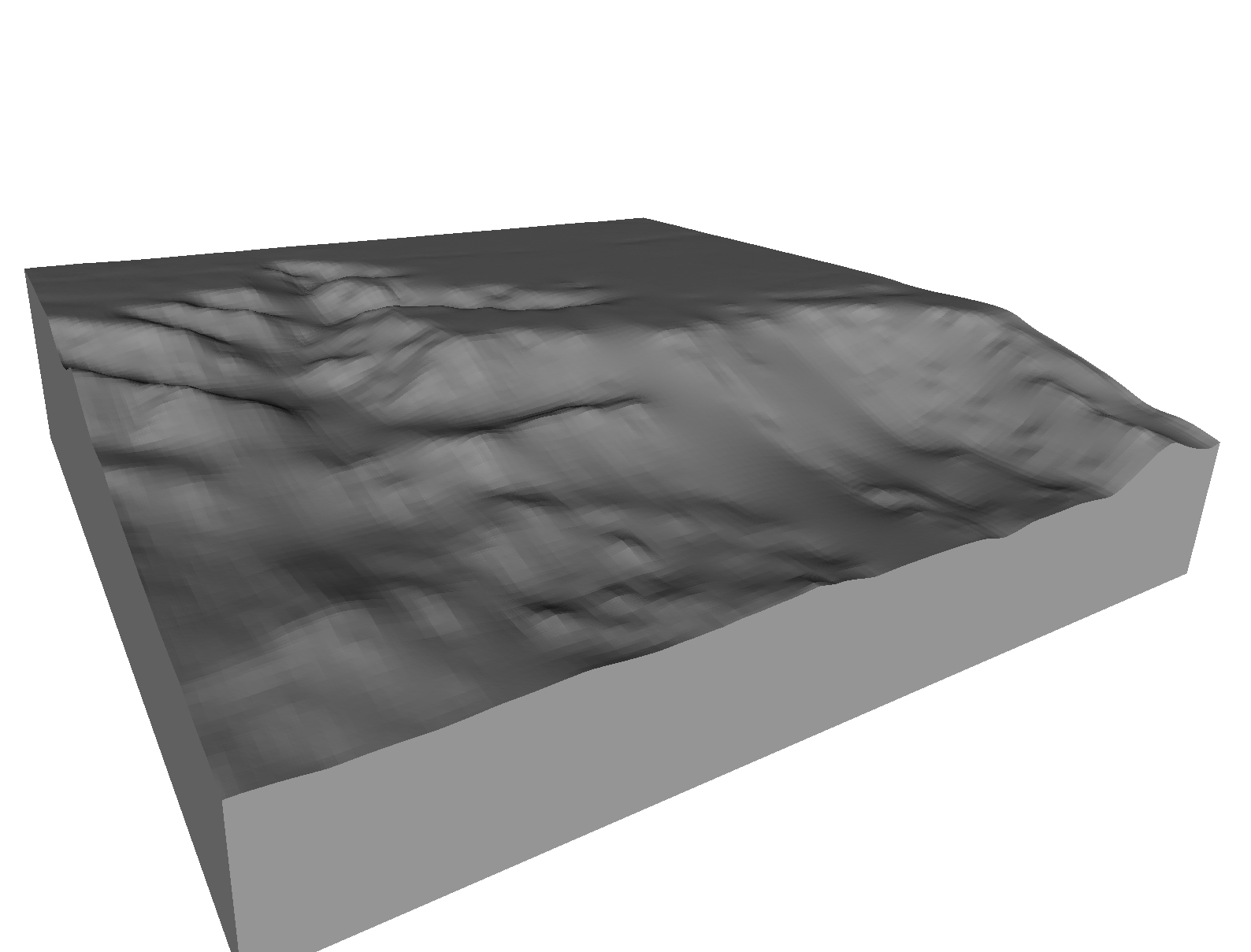
NASA has published a very useful Mars exploration tool, MarsTrek, which happens to also provide 3D model download, too.
The 3D models produced by MarsTrek are directly 3D printable with no need for editing, making this tool something 3D printing space enthusiasts may wish to try out.
MarsTrek is a web service best used on a desktop computer with a large screen. You can zip around the Martian landscape, much as you would do with Google Earth. You can pan, zoom and inspect small details. The tool also includes ways to position sunlight and other factors.
Also featured are several Mars exploration spacecraft, which have permanent bookmarks placed in the menus. You can quickly view landscapes where landers operated (and still operate in some cases) – and even select to download a pre-defined chunk of those landscapes as a printable 3D model.
Don’t like those landscapes? (Which could be the case, as the difficult of landing on another planet has often caused spacecraft navigators to choose dull, flat areas for landings.) Then you can easily define your own “box” within MarsTrek and download the STL file representing that area.
At top you can see an area representing the current geography for the still-active Mars Curiosity lander. It’s a bit flat, as we explained.
Here we see a much more dramatic area, taken from the deeper part of Valles Marineris, perhaps the biggest canyon in the entire solar system.
There’s much more, of course. Mar is, after all, an entire planet!
Via MarsTrek


