Some people like to 3D print landscapes. You know, mountains, rivers, lakes and the rest. But where do you get the 3D data for it? We found a service that can do so.
The Terrain2STL STL Generator, created by GitHub user “ThatcherC” provides a fantastically simple method of generating STL for arbitrary landscapes.
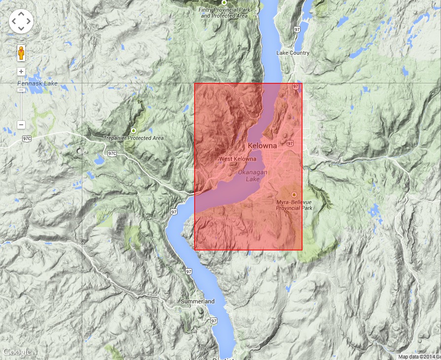
As you can see in this image, you simply browse around a Google map and select the zone you’d like to have STL’d. With the press of a button, you have a downloaded STL file – ready for printing.
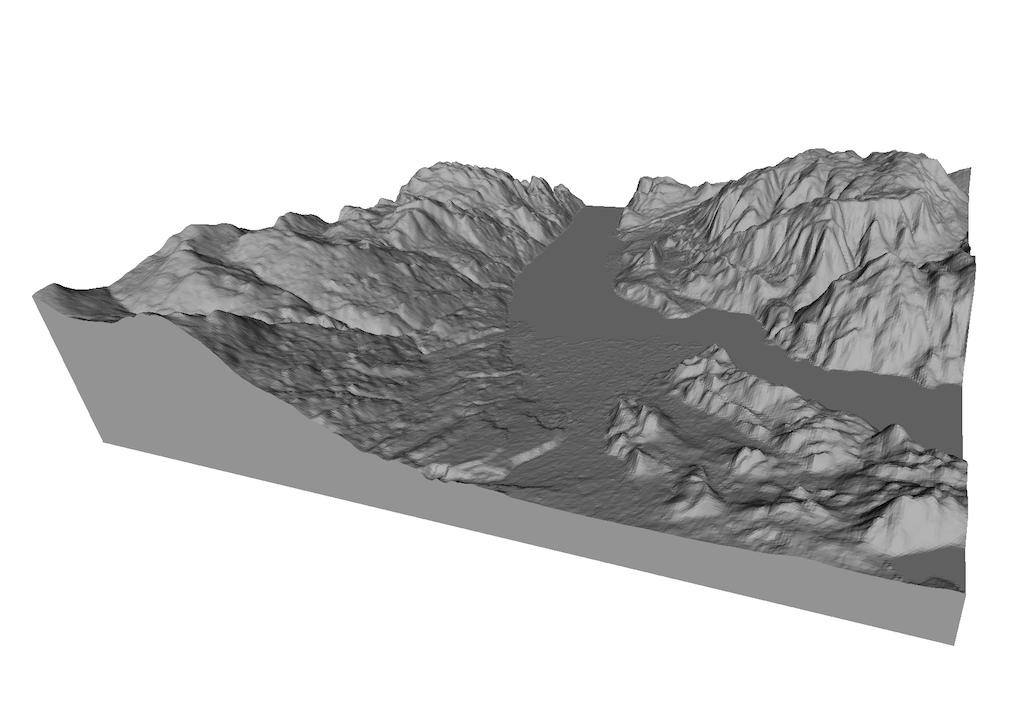
The map above is for the Kelowna, British Columbia area. We picked that as a test location because it’s not only a very beautiful place, it’s also quite lumpy there. In the image at top you can see the resulting STL file generated for the Kelowna grid we selected.
Some advice:
- The service does not permit maps to cross “grid boundaries”. If you wish to do so, simply generate multiple STLs and stick them together in your 3D modeling tool.
- This service looks like an experimental version. It runs with an IP address only – not a domain name as far as we can tell, on Google servers. It may disappear or get clogged up.
- Pick the largest possible area, because tighter locations do not provide additional STL detail. The smallest selections will appear quite lo-poly.
- Do not print these models hollow! While you can often get away printing hollow models, the irregular top surface will defeat your hollow aspirations. Pick at least 10% fill to ensure you provide internal support for all those nooks and crannies.
- It turns out that most of the world is actually quite flat – who knew? Pick interesting areas to print.
ThatcherC, whoever you are, we, the world of 3D printing thanks you.
Via Google


